
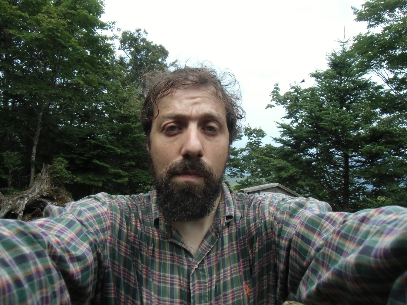
Written by Daniel David Moskovich, runAway content advisor (below).
Introduction
The Okugakemichi is an outstanding hike. Every year or two in the summer I enjoy taking this walk deep into the mountains; climbing to the peaks and enjoying the 360 views of nature without human interference, nature with no power cables or highways or artificial lights. Just trees and rocks as far as the eye can see.
For the Yamabushi, those that prostrate themselves on the mountains, the Okugakemichi is the most sacred pilgrimage route of all. It takes them through 75 power points (Nabiki) that lie between Yoshino, near Japan’s first capital of Asuka, and the mythical origin of the emperor in Kumano. Besides being religious ascetics, the Yamabushi also were warrior monks who fought in several of Japan’s civil wars. Walking the Okugakemichi was surely a big part of what kept them combat-ready and physically fit!
Due to its natural beauty and historical and cultural significance, the Omine Okugakemichi is classified as a UNESCO World Heritage Site, and I must say that in this case I think that the designation is spot-on. The hiker experiences both the raw and intense nature of Japan, and a raw, uncensored part of its culture, and the walk takes us through primeval unspoiled deep forest that we experience in much the same way that the monks have been experiencing it since the eighth century, when it was opened for them by the legendary founder of the Shugendo Religion, En-no-Gyoja.
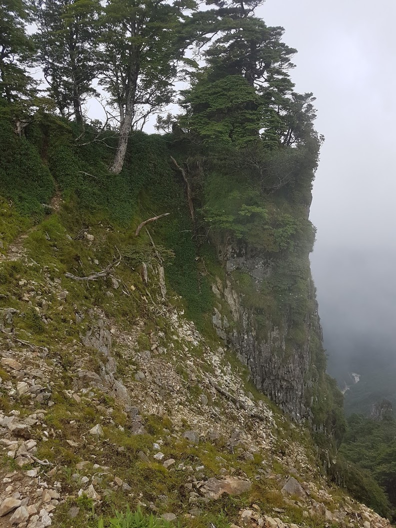

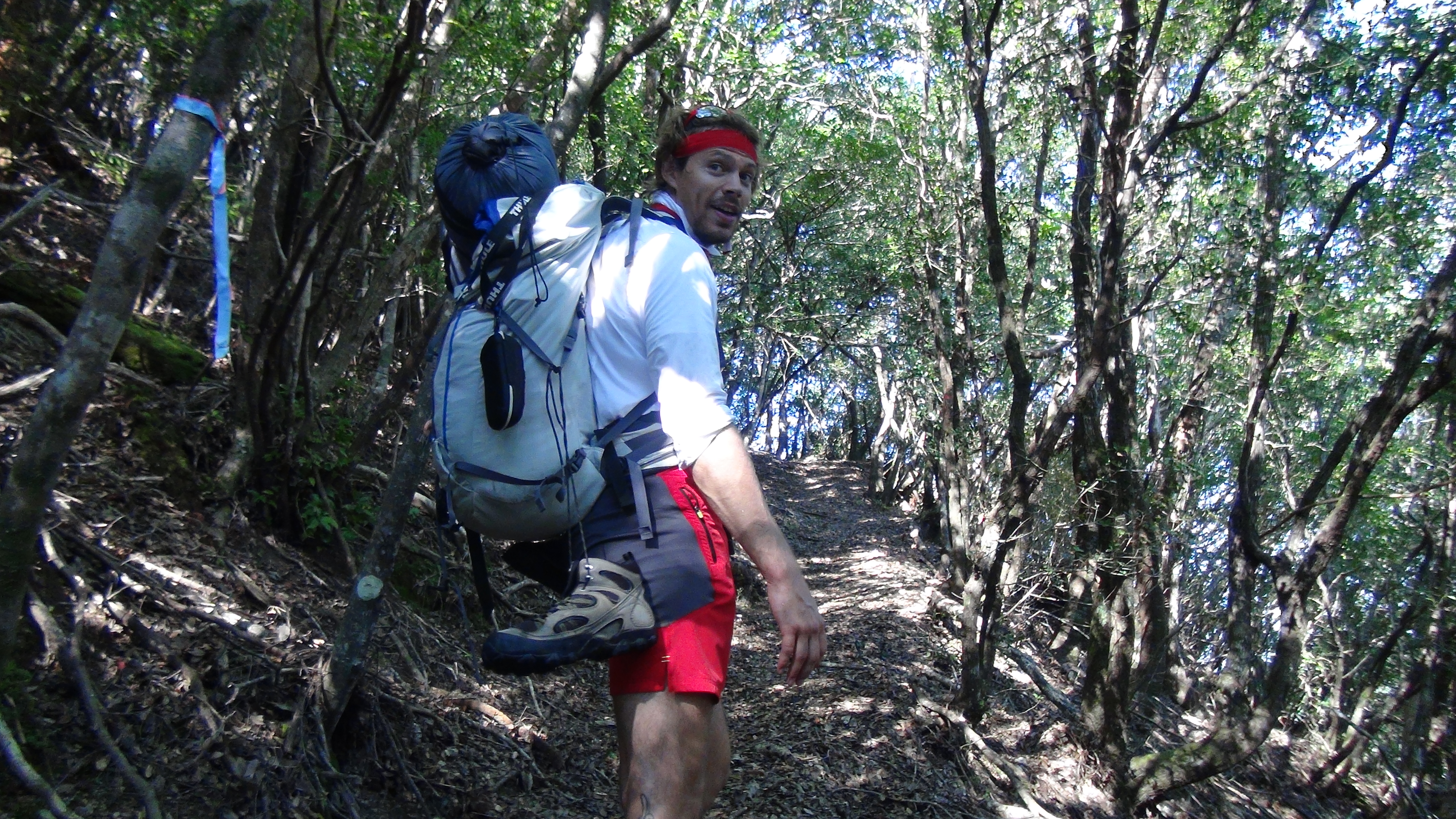
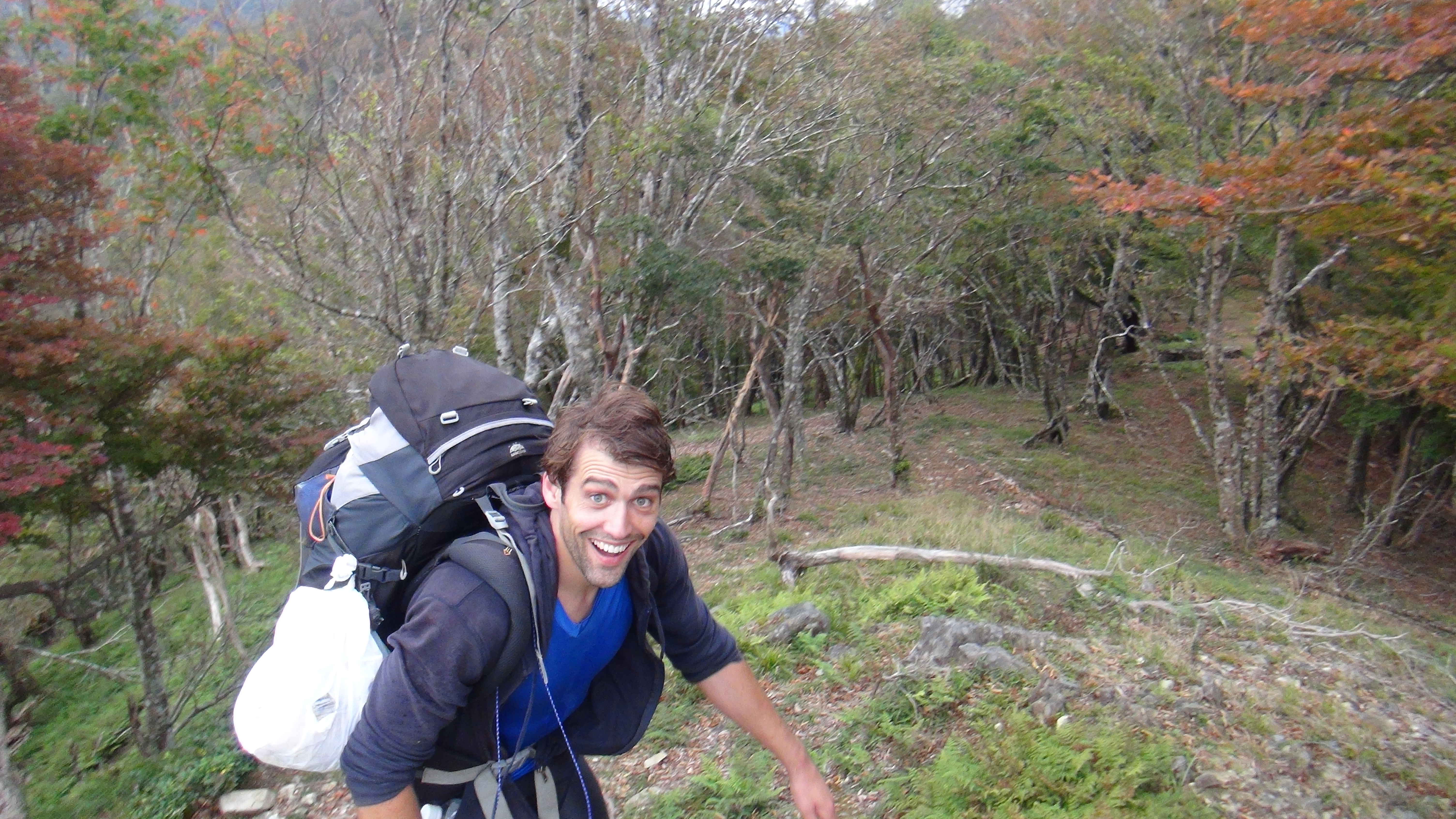
(Daniel’s shots of the trail ahead)
The Okugakemichi is fantastic, but it’s also quite challenging. The route takes us up and down and up and down a sawtooth ridge-line, with our height oscillating in the 1000-2000 meter range. Today there are ropes and chains affixed to especially difficult stretches, but even so, it is no walk in the park- the route is for the fit hiker who doesn’t mind some physical hardship. And there is no easy way to bail out in the middle- if you start it, you are more or less obliged to follow through and keep going to the end or to one of a very few alternate routes down off the ridge-line.
Mount Omine itself is one of Shugendo’s most sacred spots and is off-limits to women for religious reasons – however the route can be joined before and after it.
The route may be hiked in either direction, either from Yoshino to Kumano, or the other way around. The advantage to starting in Yoshino is that it is easily accessible via public transport from Osaka or from Nara, and the feeling of leaving the human world for the “spirit realm” of the mountains is powerful. From Kumano to Yoshino, the magic of the trail comes to the fore quickly, and an early bail-out, from Tamaki Jinja, is easier if the hiker realizes they have bitten off more than they can chew.
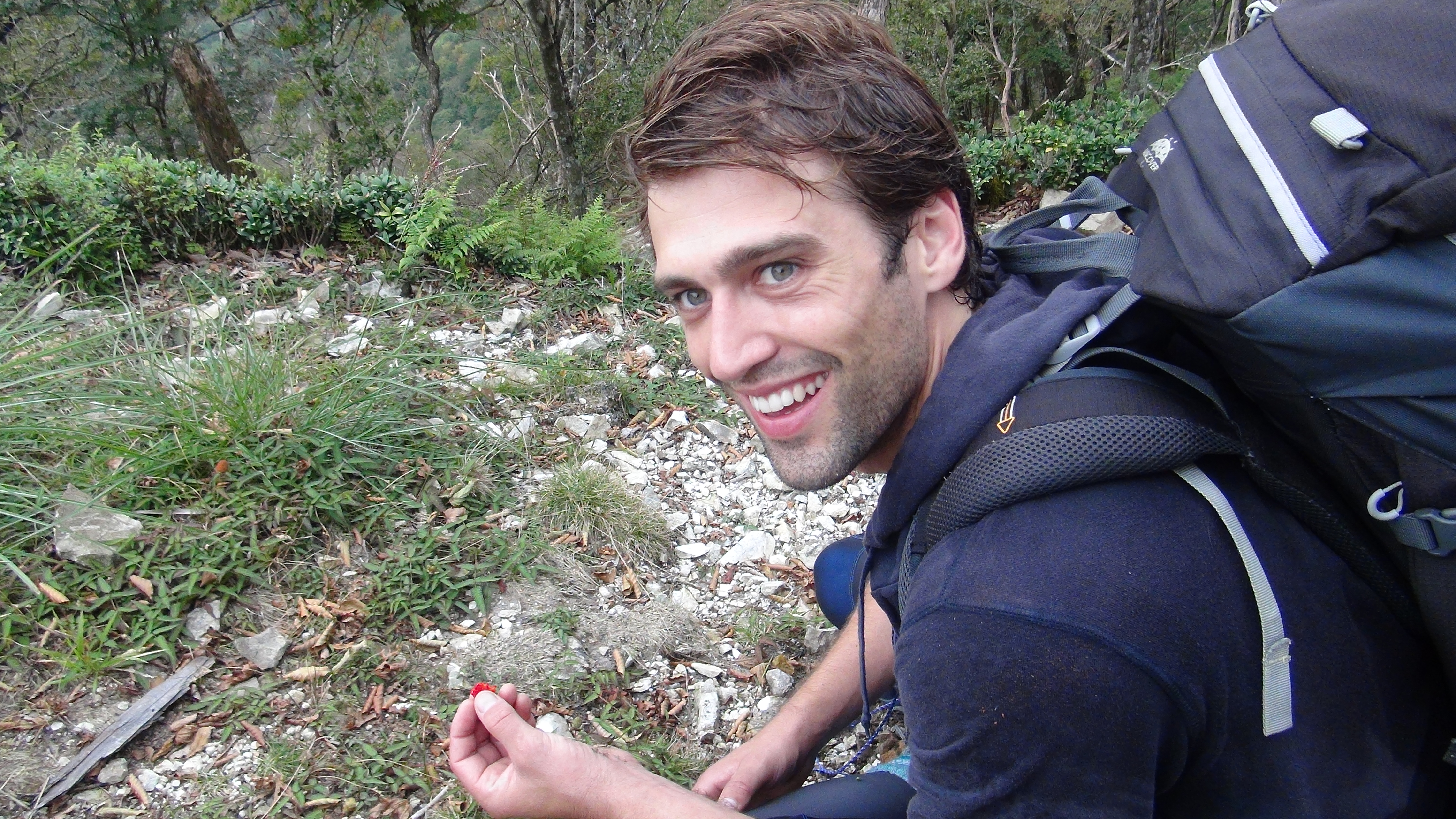
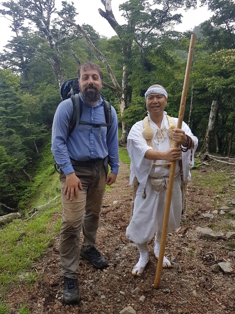
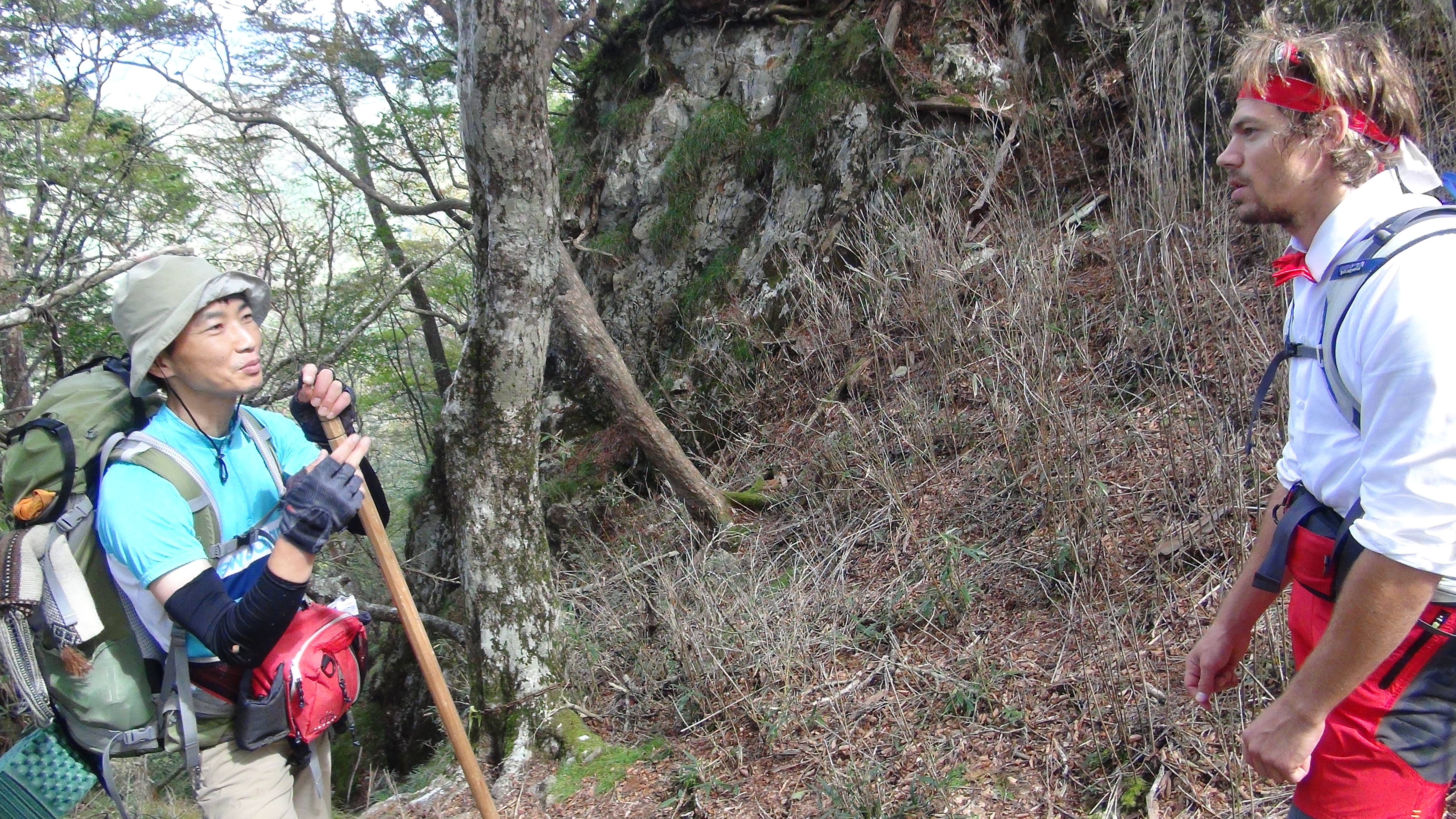
(Dean, Duncan and Natali from runAway’s adventure on the Omine Okugake Michi)
My advice in this following text is aimed at a fairly physically fit hiker who starts early in the morning and is who is capable of walking at least 8-9 hours in a day.
When to hike:
The Kii Peninsula is a rainy part of Japan, and it receives a fair amount of snow in the winter. The proper hiking season is from June to October, although depending on the year and depending on the hiker’s experience with snowy weather, it may be possible to extend this slightly at either end.
Where to sleep:
The Omine Okugakemichi is punctuated by rest-houses. These are typically well-maintained and fairly clean. Please help us to keep them that way!
The rest-houses come equipped with emergency supplies, which should only be partaken of in case of an emergency, and sometimes bedding, which may be used, although I bring my own sleeping bag.
Is a tent necessary for the Okugakemichi at all? Well, Dean and Duncan have shown that one can manage without, but because I don’t fancy mice much, and some of the rest-houses have mice, and also because rest-houses are sparse in the southern half of the trail, I do take a tent with me, although I only use it once or twice during my journey.
A donation of usually around 2000 yen is requested for each use of the rest-house. Every hiker is free to donate more; and the money goes to the upkeep of the house and of the forest, so it is a fantastic investment.

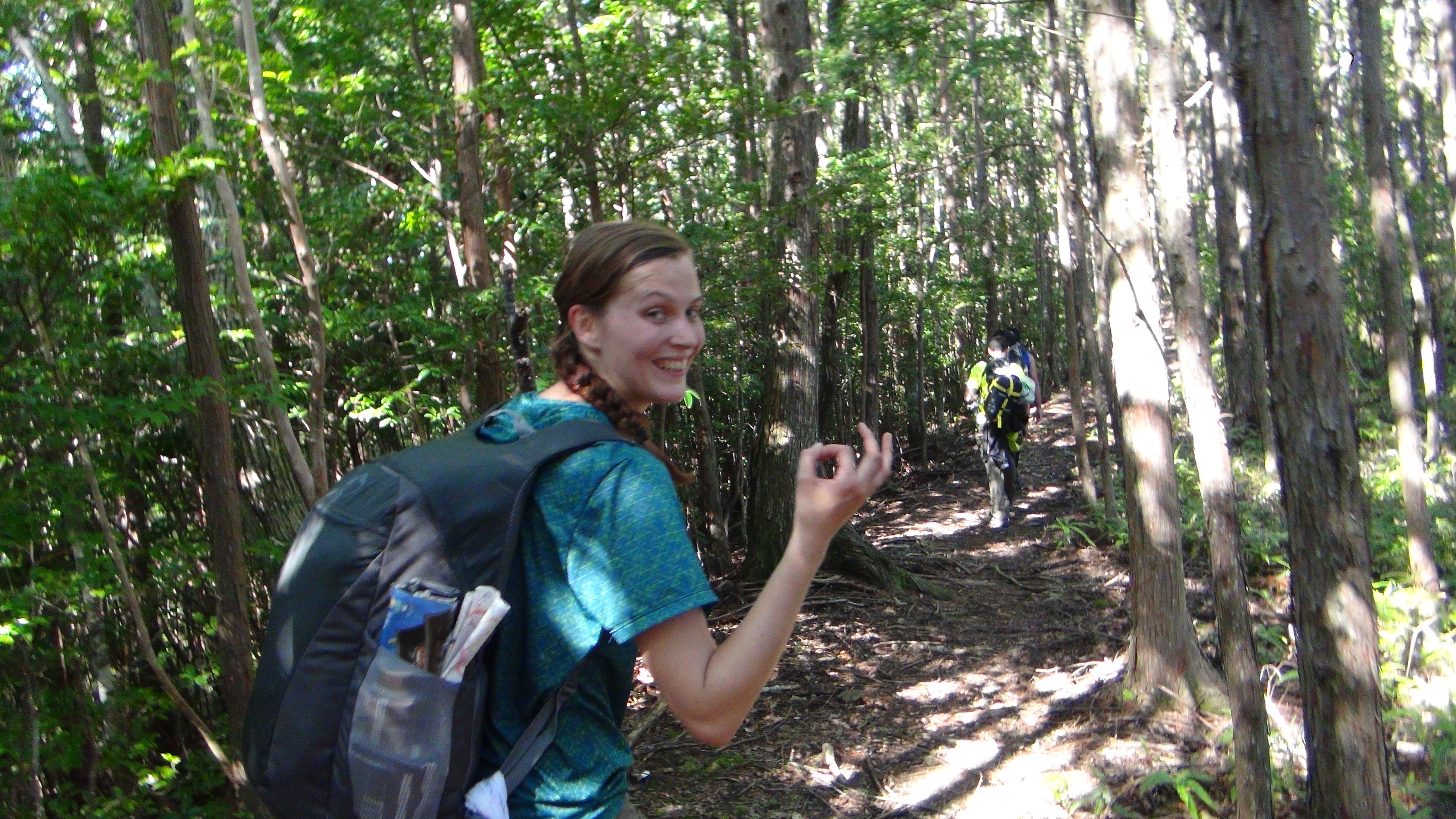
(Dean enjoying the Omine Okugake Michi Trail)
What to eat?
Old-timers on the Okugakemichi have informed me that there are plenty of edible grasses, roots, mushrooms, and berries in these mountains. Don’t try it, though, unless you have some knowledge or experience in “living off the mountain”, because some edible-looking plants, roots, and mushrooms are poisonous!
What one should do, of course, is to bring sufficient supplies from home. It’s important that they be light, because it’s a long hike, and it’s important there be enough nourishment. You can boil water in the rest-houses if you need to- they do have pots and pans and a fireplace, and of course you can bring a gas canister of your own.
What to drink?
Water on the Omine Okugakemichi is a godsend in more ways than one- first, there isn’t much off it, and sometimes, especially in summer, some of the springs run dry, so it’s best to fill up whenever the opportunity presents itself even when it may take you 10-20 minutes off the main trail. Secondly, this water, which comes out of sacred mountains at high elevations, is considered very sacred for the Shugendo monks- they compare it to suckling on the breasts of the mountain- and it is a privilege to drink it. Each spring has its own taste and its own religious significance, and the water from some of the springs fetches a premium price down in the villages. Do enjoy the water, do savour it, and don’t take it for granted.
I would try to make sure that I am carrying at least around 3L of water at all times, and sometimes 4 or even 5 if I am traveling between points where the water-supply is unreliable, which typically are the higher-up stretches of the trail.
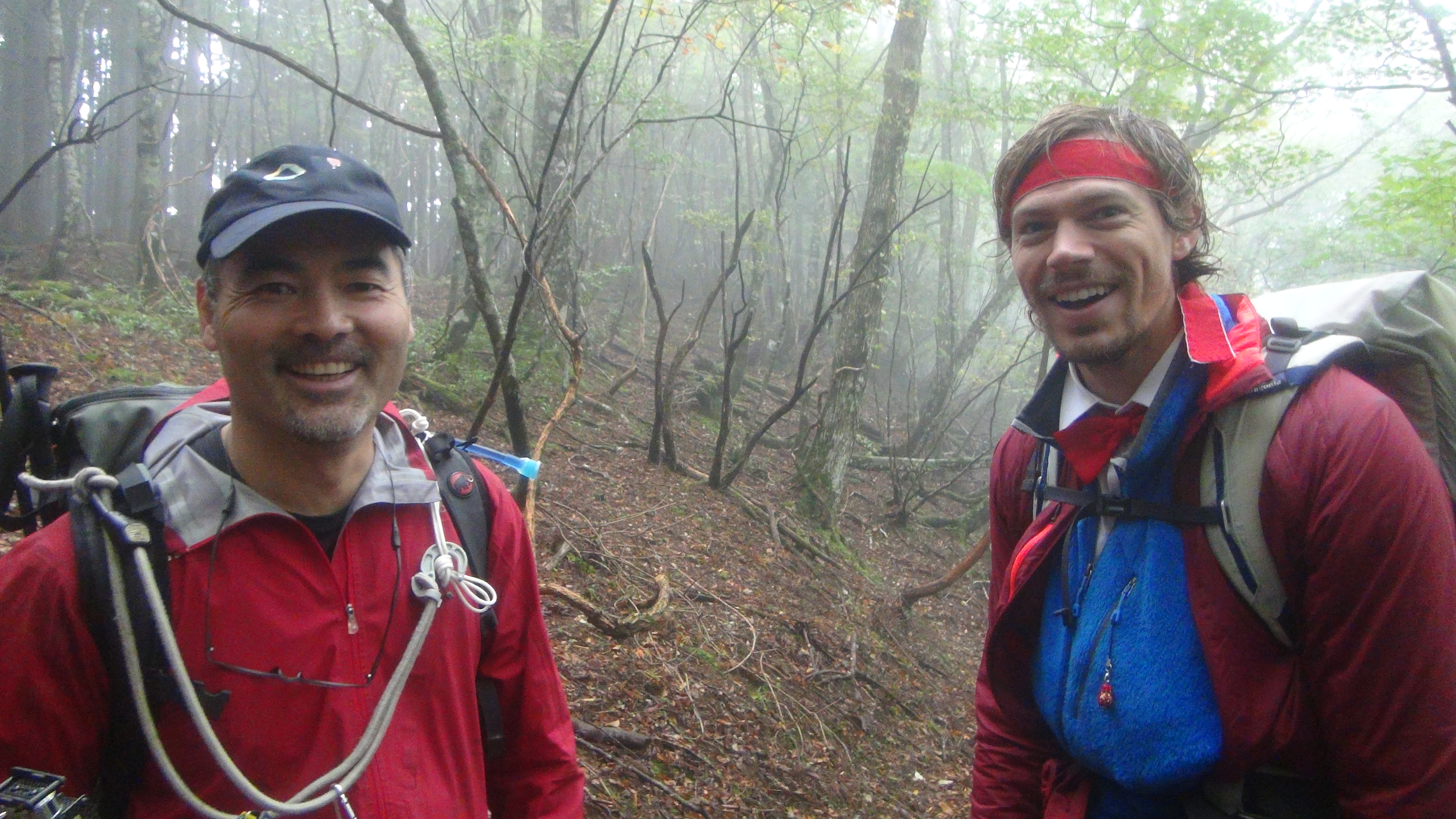
(Duncan and Dean on their 5 day adventure from Wakayama to Nara)
Orientation:
The Omine Okugakemichi roughly follows a ridgeline- if you stray off the trail, the way back is usually “up”. The trail is well-marked by coloured ribbons and occasional signposts. As these signs are in Japanese, it is recommended that the hiker familiarize themselves with the Kanji characters for their next destination and look for these on the signs in the few places that the trail splits- Kanji characters are pictograms and so should be easy to remember.
Don’t do stupid stuff:
This is probably good advice for life in general, but on the Omine Okugakemichi you are alone deep in nature, and don’t expect anyone to rescue you or even to be able to rescue you if anything goes wrong. In particular, please stay on the trail – the trail is ancient and there is a reason for its every twist and turn, and if one tries to invent shortcuts one may easily find oneself in quite a bit of trouble; particularly in stretches in which the trail becomes hard to follow such as the Mayoi-no-daira, the plain of confusion, please make it a priority to try to stay on the path. Keep the obvious safety precautions- bells against bears, no hiking at night, no hiking in bad weather- and enjoy this fantastic trail!


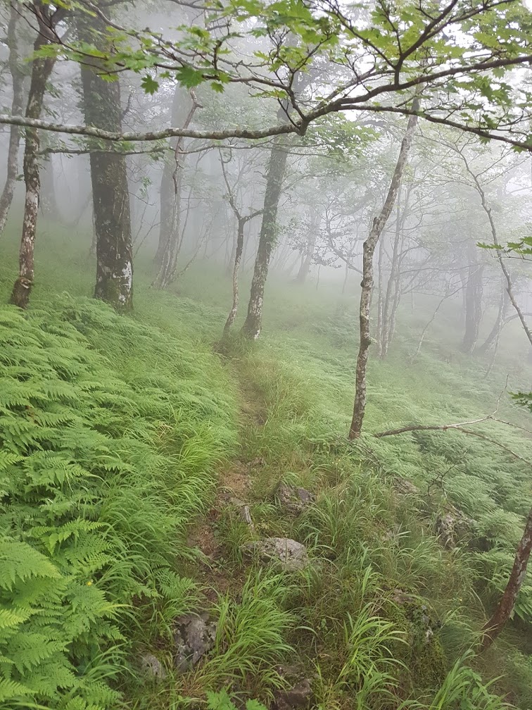
(Duncan smiles as he nears the finish line, while Dean and Natali look out over deep nature)


Thanks for this!
I’m an expat kiwi who’s been living in Japan for getting close to 20 years. I actually live in Yoshino-gun and look out onto the mountain range in the article. But, it’s only been over the last year that I’ve started to get out into them.
I’m really keen to do the Omine- Okugake trail. My aim is to attempt it in two or three years time. I want to gain some experience in those preceding years. I’m planning to do the Yoshino to Dorogawa stretch this spring.
Do you have any suggestions for hikes in Japan to build up to doing the Omine-okugake?
Also, where do you get a detailed map of the trail with the hut locations etc?
Thanks for the article and thanks in advance for any advice or help.